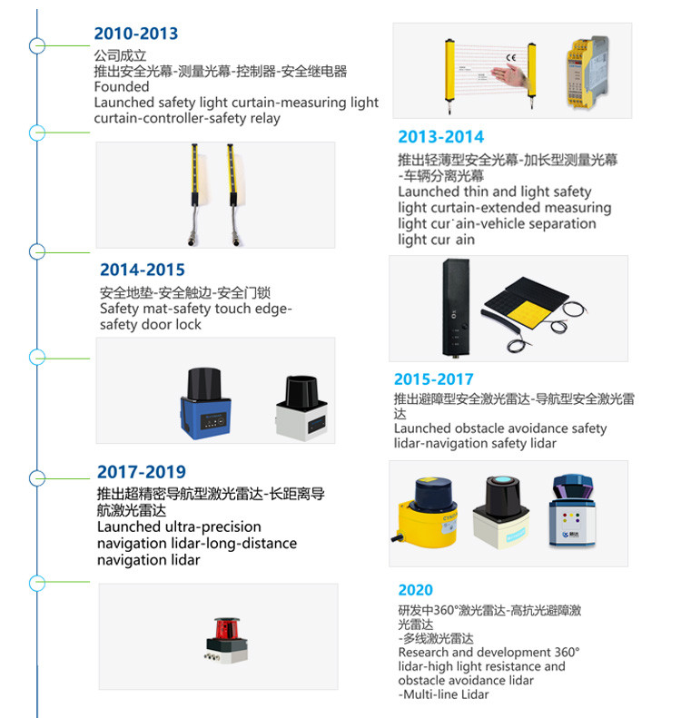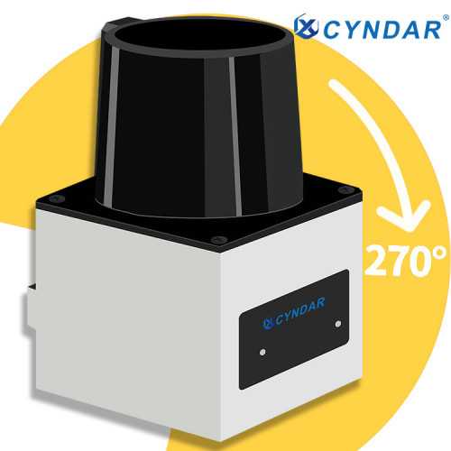
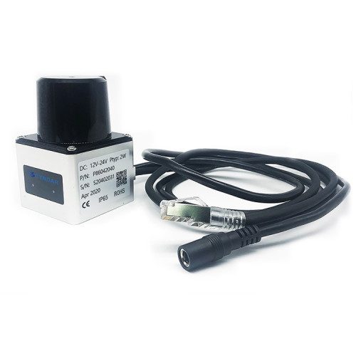

2D safety laser scanner sensor for laser navigation and positioning
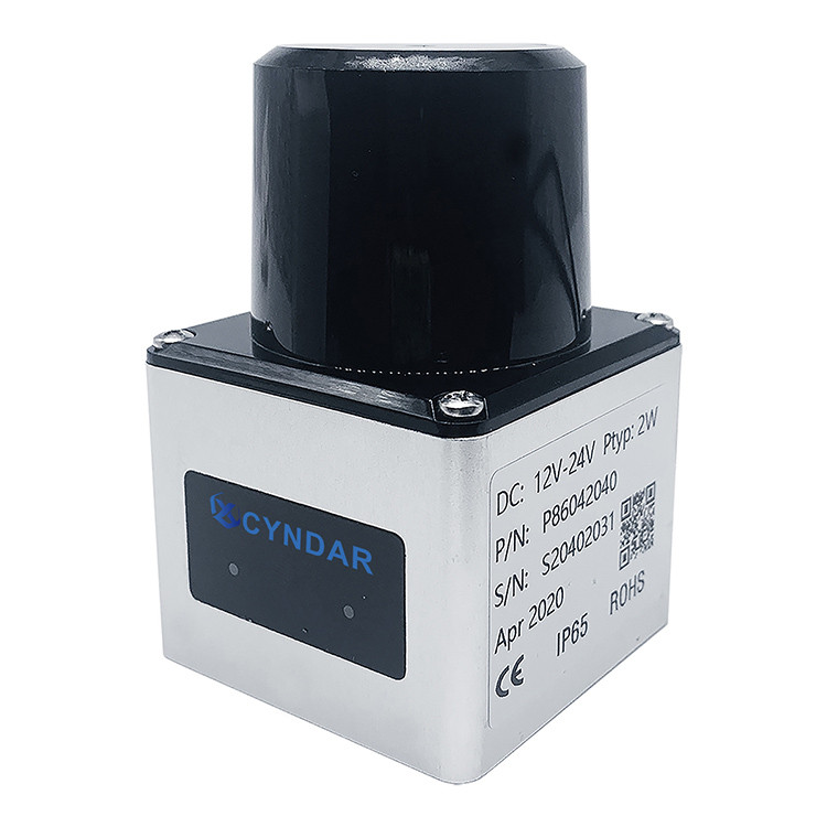
- Model
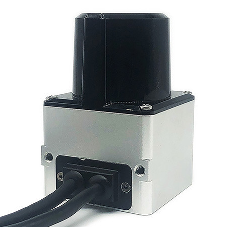
- XD-TOF-30
Item specifics
- Product name
- 2D-TOF navigation type safety laser scanner
- Measuring distance
- 0.1-30M (90% equivalent emissivity)
- Use swap in
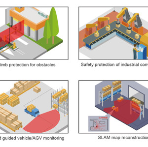
- Indoor and outdoor
- system error
- ±25mm
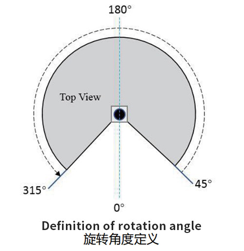
- Scan angle range
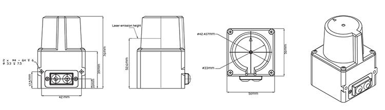
- 270º
- Minimum angular resolution
- 0.014°
Review
Description
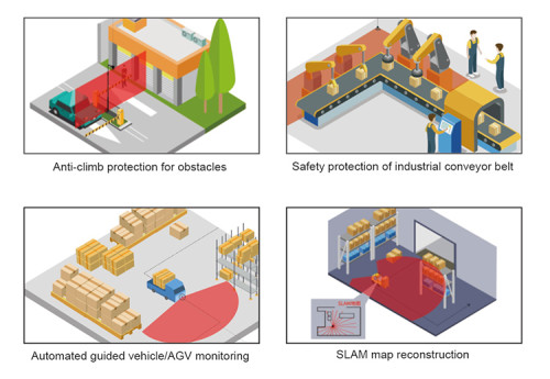
lidar indoor navigation features
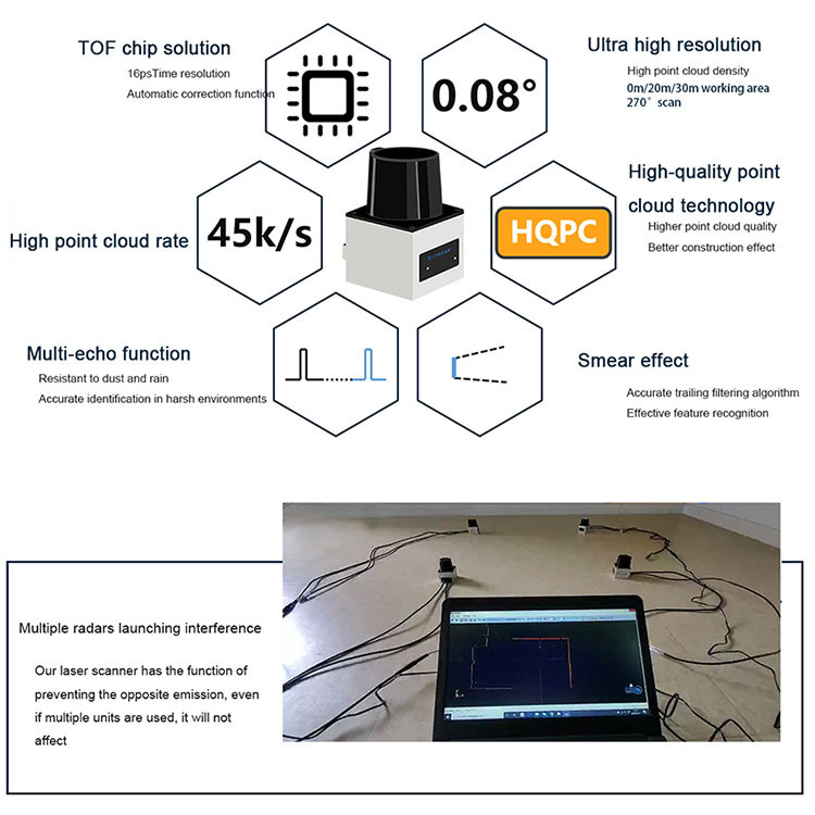
●270˚ scan, extremely small angle resolution up to 0.08˚
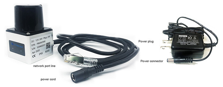
●USB interface, Ethernet 100BASE-TX
●laser scanner safety sensor 3 warning areas
●16 kinds of area group settings (quick configuration, fast loading)
●laser scanner sensor automatic learning (learning according to the field scene, monitoring the outline)
●Pause function, taking into account the production (built-in shutdown and restart functions, with the production line moving countermeasures)
●IP65 dustproof and waterproof
The safety lidar scanner sensor is a radar system that emits a laser beam to detect the position and speed of the target. Its working principle is to transmit a detection signal (laser beam) to the target, and then compare the received signal (target echo) from the target with the transmitted signal, and after proper processing, the relevant information of the target can be obtained, such as Target distance, azimuth, height, speed, attitude, and even shape and other parameters.

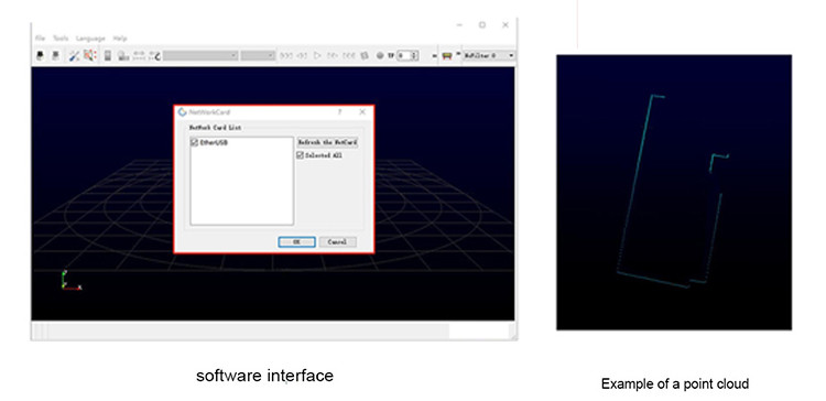
Safety laser scanner data communication mode
There are two modes for the data communication between the laser navigation radar and the host computer, one is the passive upload data mode of the radar, and the other is the active radar upload data mode.
When the lidar is powered on, the default data transmission mode is the active upload data mode. At this time, the upper computer can use the radar active upload data mode to obtain data, or the radar passive upload data mode to obtain data (the radar upload data mode at this time) Change to passive upload data mode). When the radar data transmission mode is the passive radar upload data mode, the lidar will only support this mode to upload data, and the radar active upload data mode is not supported, unless the radar is restarted.